

Details
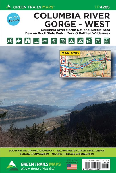
Roll on Columbia roll on with this special series map covering the Columbia Gorge National Scenic Area from Troutdale and Washougal east to Hood River and the White Salmon River. Plan day trips through Oregon’s Waterfall Ally or long distance trail runs and backpacking trips within the Mark O Hatfield Wilderness. Map also includes the Washougal River valley, Oxbow Regional Park on the Sandy River, Beacon Rock State Park, and the Pacific Crest Trail from Waucoma Ridge to Three Corner Rock. Find epic hikes like Dog Mountain, Table Mountain, Eagle Creek, Larch Mountain and Angels Rest on this map; as well as less known destinations such as Franklin Ridge, Strawberry Island, Augspurger Mountain, Tomlike Mountain and Wygant Mountain.
Map Scale 1:63,360